Keokradong
কেওক্রাডং
One of Bangladesh's best-known peaks, reached by a hill trek past Boga Lake and Darjeeling Para.
At a glance
- Where
- Bandarban district, Chattogram division
- From Dhaka
- 330 km to Bandarban by road, 8–11 hours by bus or car
- Best time
- winter (Dec–Jan) and autumn (Aug–Sep)
- Time needed
- At least 1 night
Times and costs are estimates from our planner and the prices we collected. Check before you go.
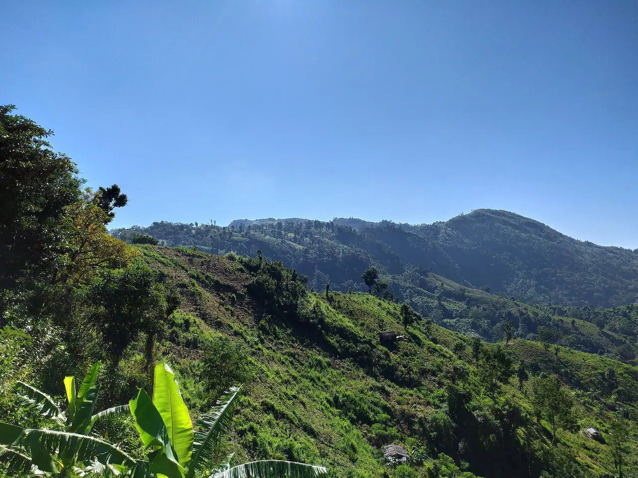
Keokradong in Ruma upazila rises to roughly 986 m and for years was thought to be the country's highest point; later surveys showed other peaks are higher. It is still a classic trek: from Ruma, walkers go via Boga Lake and the Bawm village of Darjeeling Para to the summit, where a small army marker and shelter stand. On clear days the view stretches over wave after wave of hills toward Myanmar and India. It is often wrapped in cloud, especially in the rainy season.
How to get there
Jeep from Bandarban town to Ruma, register with the authorities and hire a licensed guide, then go via Boga Lake by jeep or on foot and trek to the summit.
Good to know
Tourist access to Ruma and the routes beyond Boga Lake has been closed or limited for security reasons since 2022; when Ruma reopened in 2025 only certain spots were allowed. Check current district administration notices before planning. Carry ID and a registered guide.
Common questions
Where is Keokradong?
Keokradong is in Bandarban district, Chattogram division, Bangladesh. Bandarban is about 330 km from Dhaka by road.
How do you get to Keokradong from Dhaka?
First get to Bandarban, roughly 8–11 hours from Dhaka by bus or car. Then: Jeep from Bandarban town to Ruma, register with the authorities and hire a licensed guide, then go via Boga Lake by jeep or on foot and trek to the summit.
When is the best time to visit Keokradong?
The best time is winter (Dec–Jan) and autumn (Aug–Sep). Plan to stay at least 1 night.
More from Bandarban
District guide →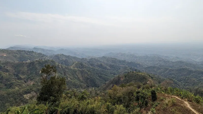 Place
Place Nilgiri
নীলগিরিA ridge-top resort on the Thanchi road where you can stand above a sea of morning clouds.
 Place
Place Nilachal
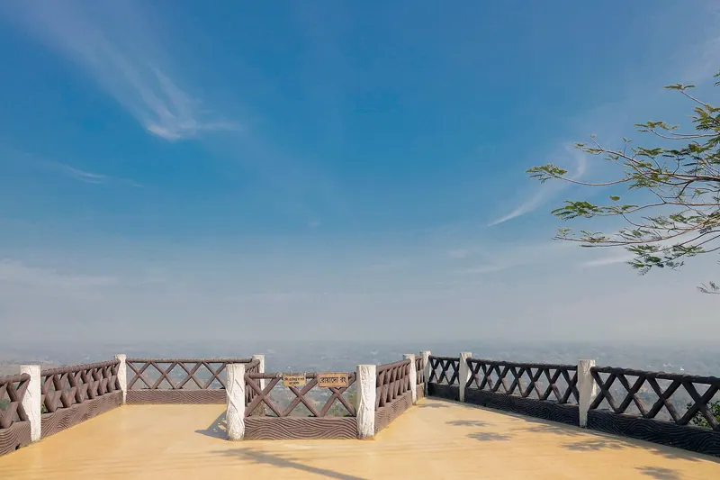
নীলাচলA hilltop viewpoint close to town, best at sunset when the valleys fade into blue layers.
 Place
Place Boga Lake
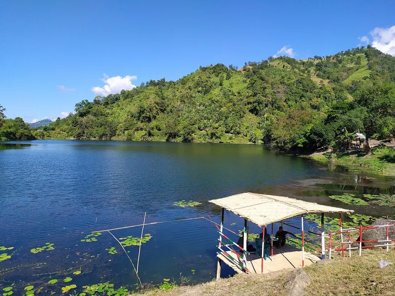
বগা লেকA deep, still lake high in the hills near Ruma, surrounded by forest and a small Bawm village.
 Place
Place Nafakhum Waterfall
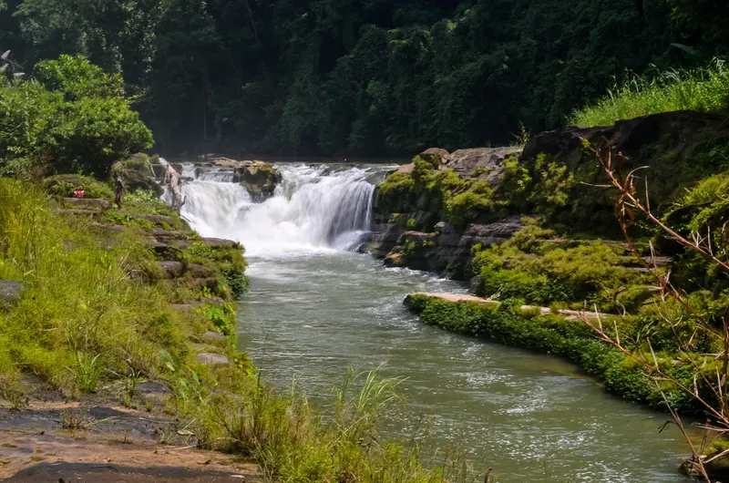
নাফাখুম জলপ্রপাতA wide, roaring waterfall on the Remakri river, reached by boat and trek from Thanchi.
Nearby
Place Boga Lake
Bandarban · বগা লেকA deep, still lake high in the hills near Ruma, surrounded by forest and a small Bawm village.
 Hidden place ▶ Video
 Rijuk Waterfall
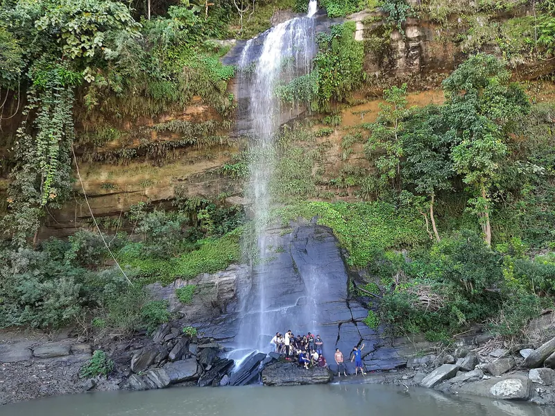
Bandarban · ঋজুক জলপ্রপাতA tall waterfall pouring straight into the Sangu, reached by boat from Ruma.
Place Nilgiri
Bandarban · নীলগিরিA ridge-top resort on the Thanchi road where you can stand above a sea of morning clouds.
 Hidden place ▶ Video
 Amiakhum Waterfall
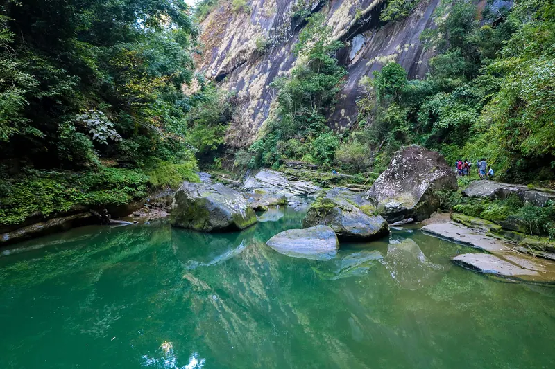
Bandarban · আমিয়াখুম জলপ্রপাতA remote, wide waterfall deep in Thanchi, reached only by a hard multi-day trek.